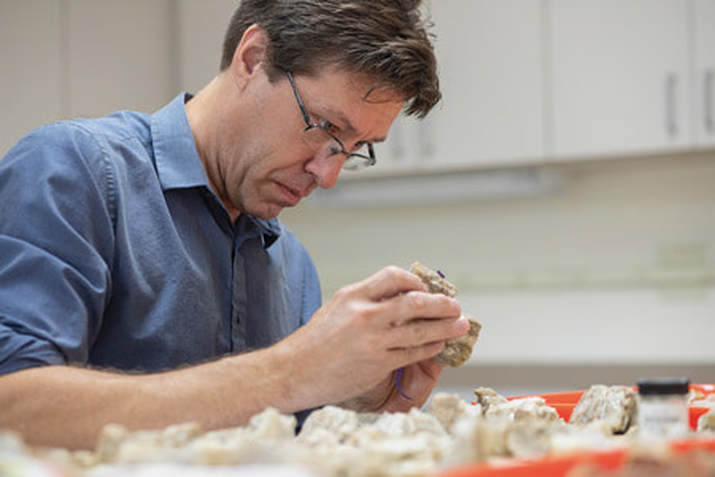
It's been a pretty busy spring. I've been working on papers, keeping things going in my lab, and teaching the field school. I just got back from a visit to Texas A & M, where I gave two presentations dealing with my work on Paleoindian and Early Archaic demography, complex systems theory, etc. It was a good visit and I'll write more about it if I get a chance.
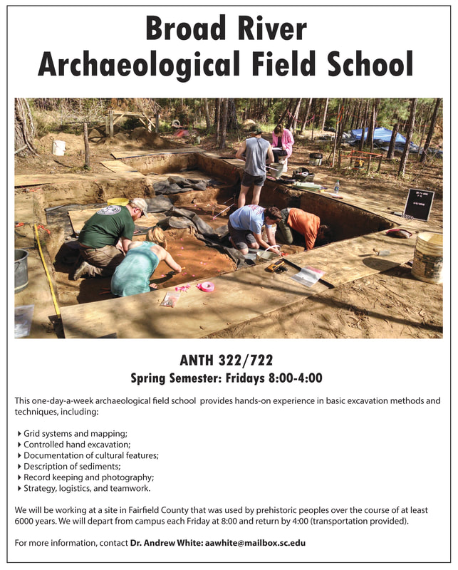
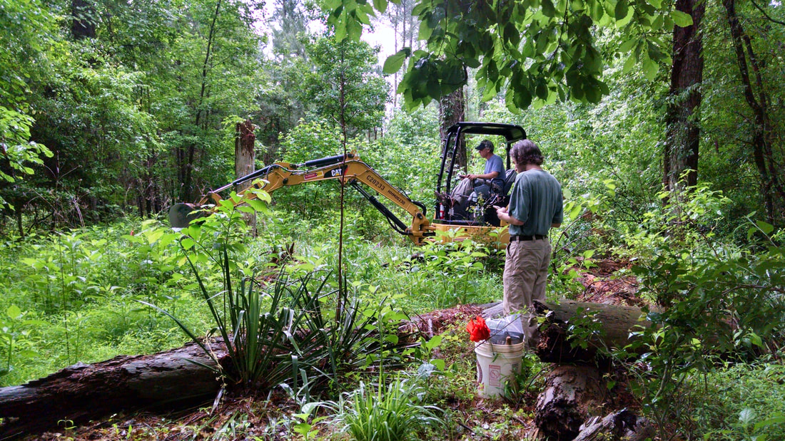
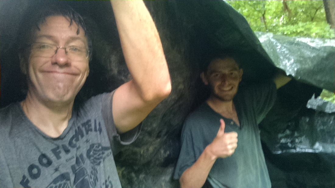
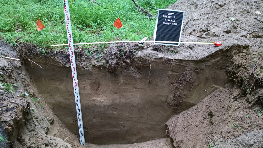
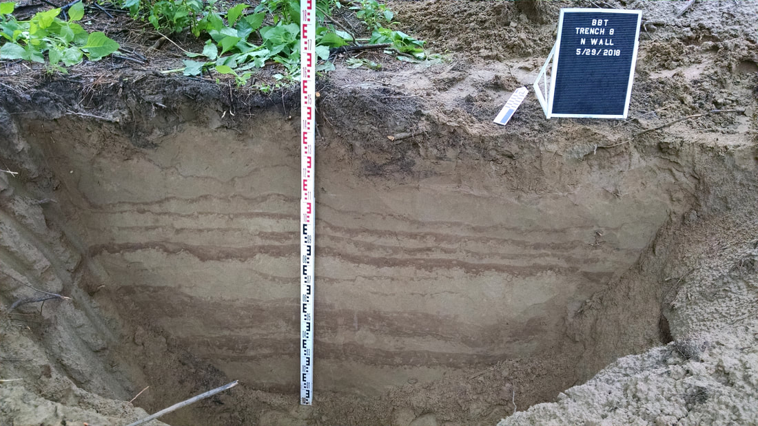
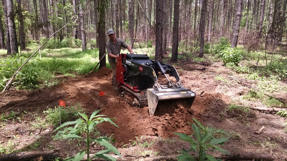
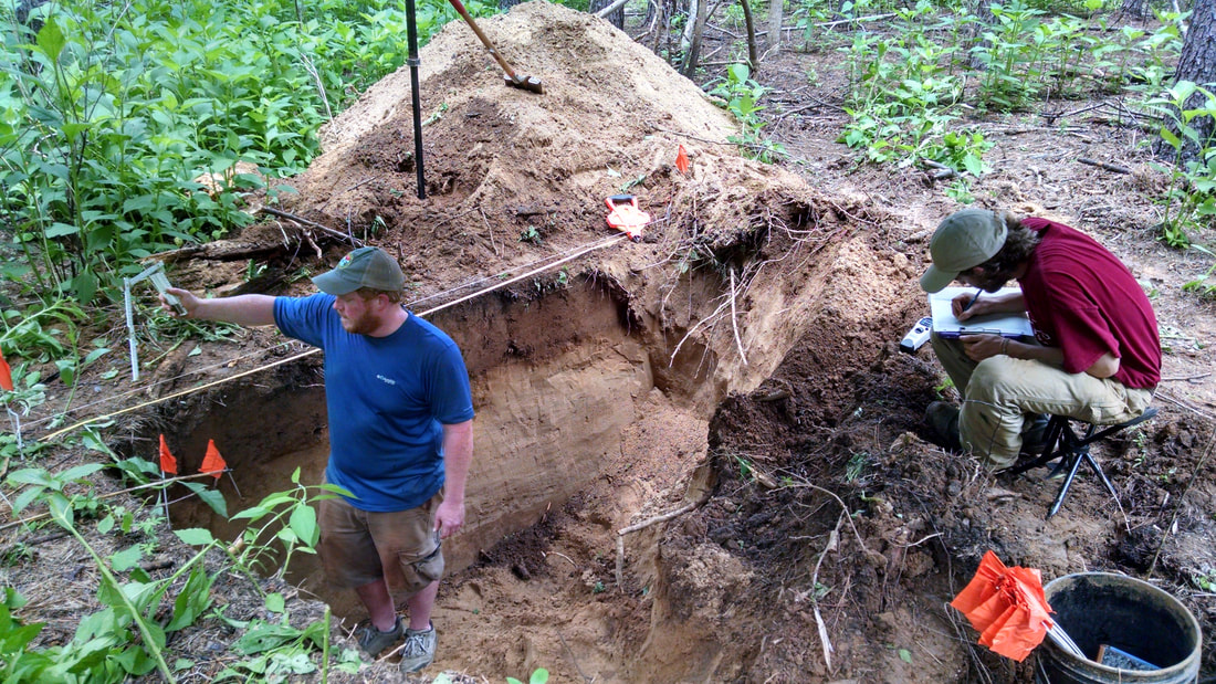
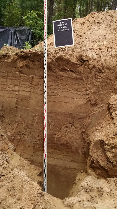
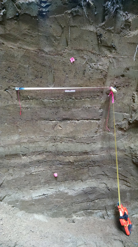
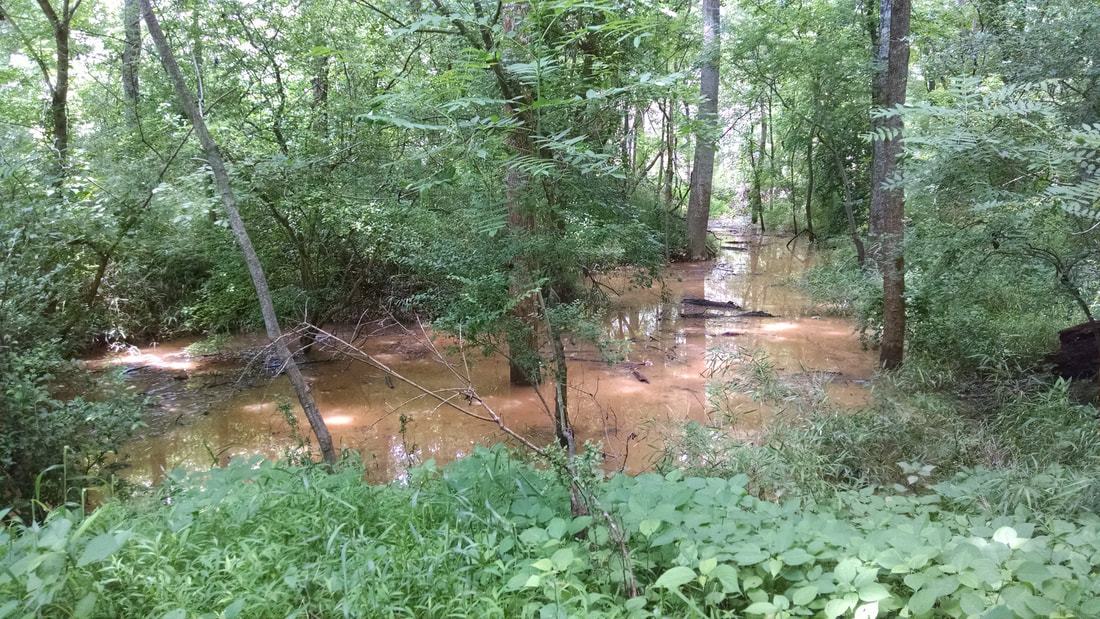
Last week was Day 7 of the Broad River Archaeological field school. If you haven't been following along, you can catch up with the videos here. We have been battling a wet spring in several different ways, but overall it's going well. We're making good progress on the excavation and things are going pretty smoothly considering the various challenges we've faced this semester. Things will likely continue to get more complicated as we get farther down in the units and into more complex deposits.
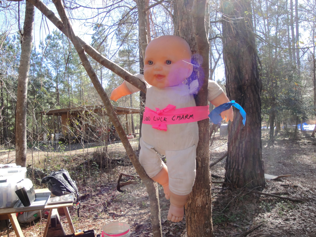
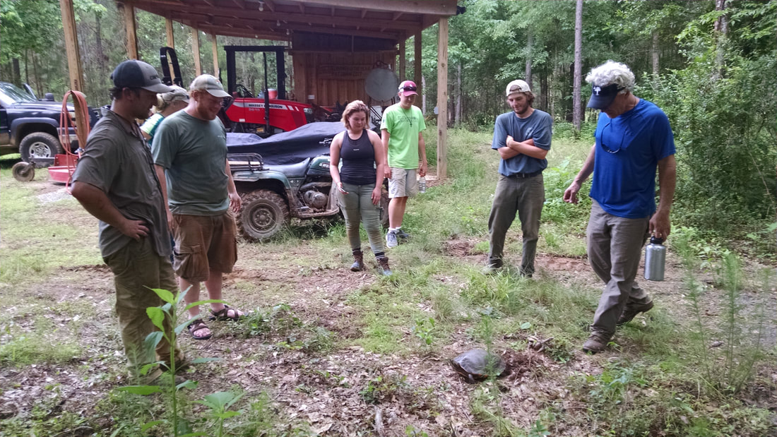
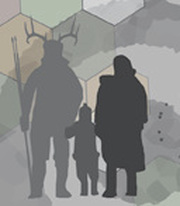
We've also got a good luck charm this year. It may look creepy, but it says "good luck charm" right there on it, so . . .
Last week was Day 7 of the Broad River Archaeological field school. If you haven't been following along, you can catch up with the videos here. We have been battling a wet spring in several different ways, but overall it's going well. We're making good progress on the excavation and things are going pretty smoothly considering the various challenges we've faced this semester. Things will likely continue to get more complicated as we get farther down in the units and into more complex deposits.
We've also got a good luck charm this year. It may look creepy, but it says "good luck charm" right there on it, so . . .
 RSS Feed