After a few preliminaries at SCIAA ("be here on time, don't be a jerk, everything you do matters") we headed out to the site, arriving before 10:30. As I've briefly discussed previously (e.g., here and here), the portion of the site we're working on contains at least 2 m of prehistoric archaeological deposits stratified within in a natural levee along the Broad River. What we know about the site so far is limited to the information I've gathered by documenting deposits exposed in the existing vertical cut (produced by mechanical excavation at some point in the past presumably to borrow sediment) and excavation of two partial units that I placed to start to produce a straight profile and document the buried (Middle Archaic?) deposit of chipping debris that constitutes Feature 1.
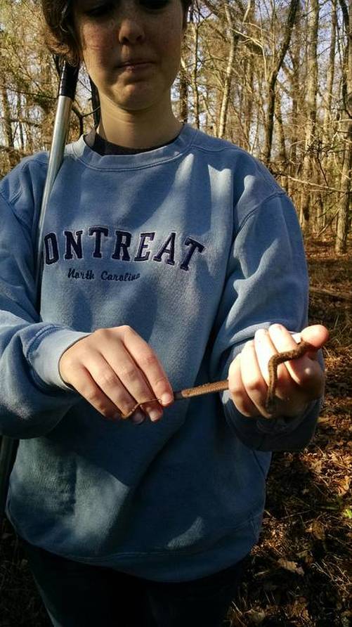
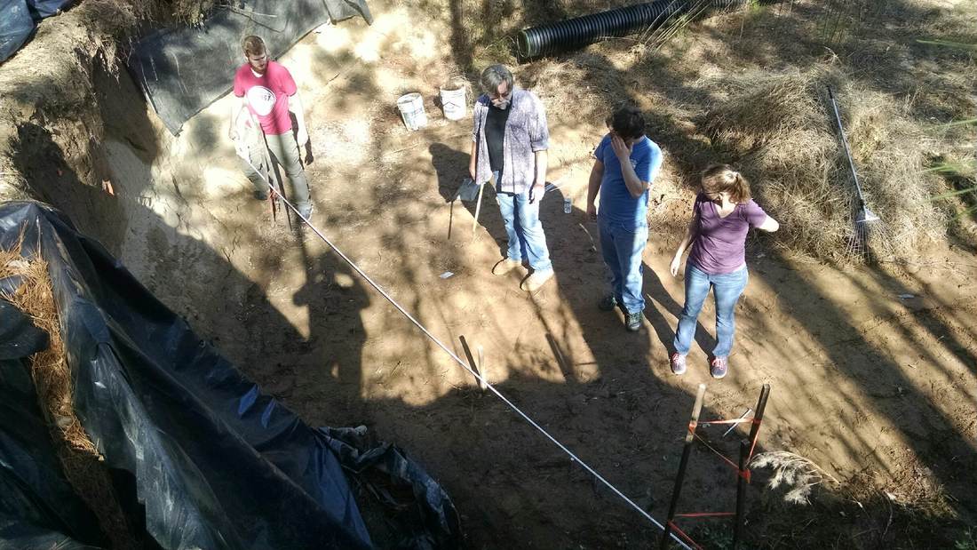
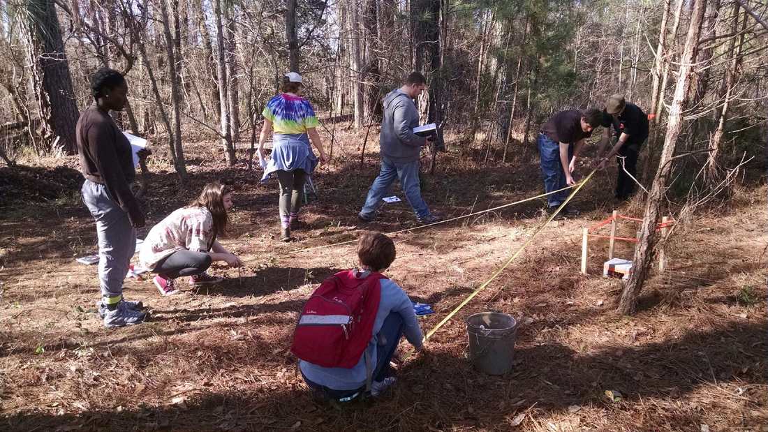
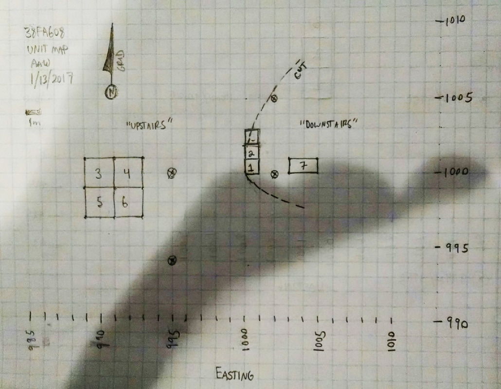
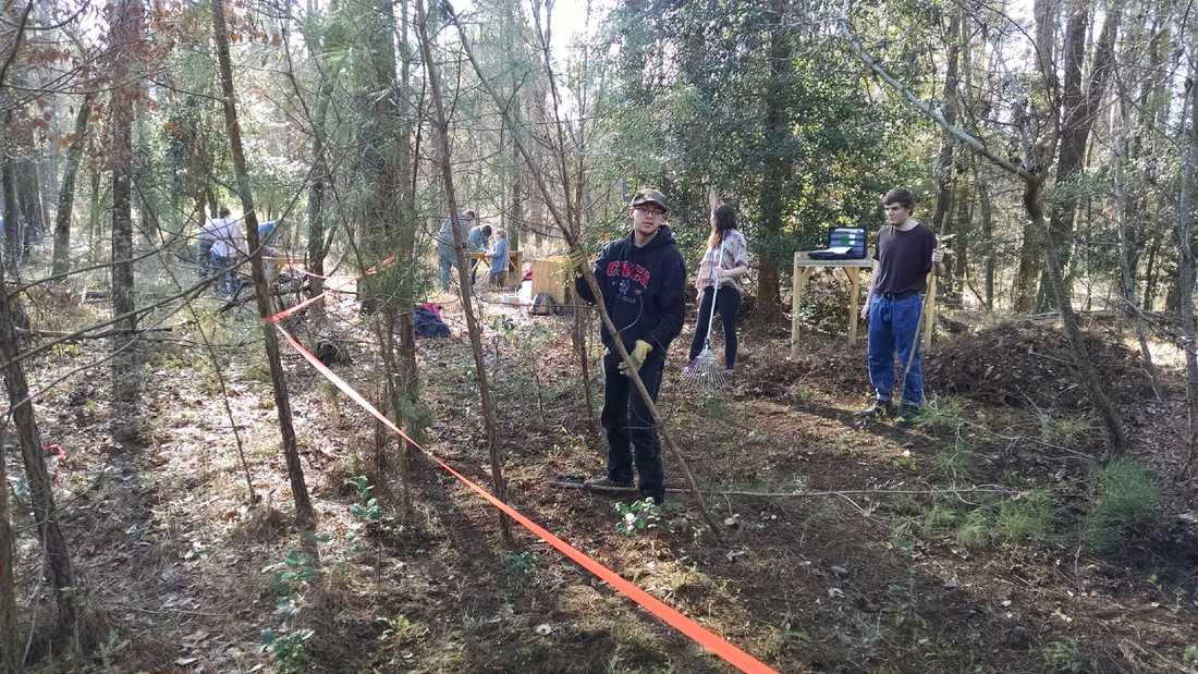
The first day in the field went pretty well. We accomplished all the goals I had for Day 1: getting the screens put together, clearing brush and leaf litter from the excavation areas, laying out the units, and getting everyone acquainted with the site and each other. As a native Midwesterner, it was a truly bizarre feeling to be starting an excavation on a 75 degree day in mid-January. The winter weather here is amazing. After a few preliminaries at SCIAA ("be here on time, don't be a jerk, everything you do matters") we headed out to the site, arriving before 10:30. As I've briefly discussed previously (e.g., here and here), the portion of the site we're working on contains at least 2 m of prehistoric archaeological deposits stratified within in a natural levee along the Broad River. What we know about the site so far is limited to the information I've gathered by documenting deposits exposed in the existing vertical cut (produced by mechanical excavation at some point in the past presumably to borrow sediment) and excavation of two partial units that I placed to start to produce a straight profile and document the buried (Middle Archaic?) deposit of chipping debris that constitutes Feature 1. Drawing of the deposits exposed in the irregular, machine-cut profile. The numbers in the image are too small to read, but the (presumably) Middle Archaic zone is the second from the bottom if you look at the left edge of the drawing. Woodland/Mississippian pit features are also exposed in the profile nearer the current ground surface. After a brief tour of the site, I broke the students into groups and had most of them assemble screens. Jim Legg and one student worked on cleaning up the lower area of the site within the machine cut (which I have started calling the "downstairs") in preparation for work on the profile and the excavation of a 1 m x 2 m unit to give us a look below the profile. We cleared small trees, brush, and leaf litter from the "upstairs" area on the top of the levee in preparation for laying out a block of units to expose some of the deposits in plan. For the 4 m x 4 m block on the "upstairs" (Units 3, 4, 5, and 6 in the diagram below) I gave the students the task of trying to figure out how to find the unit corners using two permanent datum points (N 1000 / E 995 and N 995 / E 995) that DuVal Lawrence and I installed earlier in the week. Locating and marking the corners accurately requires several steps, so I wanted them to go through the thought process of figuring out how to do it (and check it) using multiple triangulations. That was fun. The following image is just a photograph of my basic map showing the locations of the units we've laid out. The profile drawing shown above curves along the line labeled "cut." I excavated Units 1 and 2 last spring to start the process of producing a straight north-south profile. Jim Legg will continue those excavations with a series of units to the north of Unit 2, establishing a plumb profile wall along the 1000 E line. Units 3, 4, 5, and 6 will be used to expose the deposits in plan, coming down from the apex of the levee. Unit 7 will be used to investigate what, if anything, is below the deposits visible in the exposed vertical cut. Weather permitting, next Friday we'll be putting shovels in the ground. Stay tuned!
Bob Jase
1/14/2017 07:51:55 am
Stupid question - whe you say you cleared the tress & brush you mean only to ground level, right?
Andy White
1/15/2017 03:19:33 am
Right. Mostly we had to take out small (thinner than your arm) pines so we could get to work. I've never dealt with these kinds of trees before, but I'm expecting the first couple of excavation levels to be dominated by a tangle of horizontal roots. We shall see.
E.P. Grondine
1/14/2017 12:18:14 pm
I don't know if this is related to the disappearance of Kirk, but the quarry at Remington, Virginia was mysteriously abandoned at 8,350 BCE. 6/5/2019 11:28:10 pm
Great Post! I really liked reading the article you wrote. Thank you very much for expressing an article in front of us Comments are closed.
|
All views expressed in my blog posts are my own. The views of those that comment are their own. That's how it works.
I reserve the right to take down comments that I deem to be defamatory or harassing. Andy White
Email me: [email protected] Sick of the woo? Want to help keep honest and open dialogue about pseudo-archaeology on the internet? Please consider contributing to Woo War Two.
Follow updates on posts related to giants on the Modern Mythology of Giants page on Facebook.
Archives
January 2024
Categories
All
|